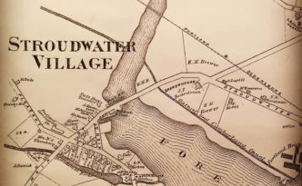
Stroudwater, Maine 1910 Census Enumeration District Map
About: “An enumeration district, as used by the Bureau of the Census, was an area that could be covered by a single …
About: “An enumeration district, as used by the Bureau of the Census, was an area that could be covered by a single …